Day 8
2004_0410Image0002.JPG

Near Dickens springs
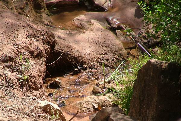
2004_0410Image0003.JPG

Dickens natural springs
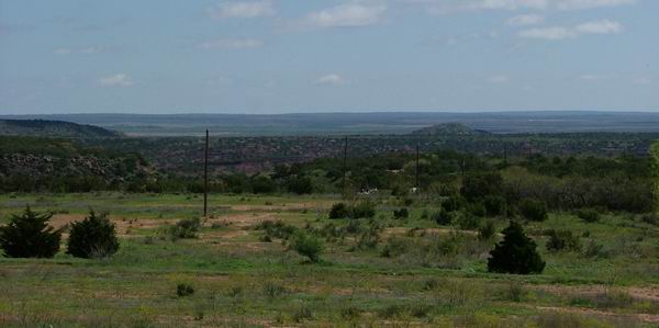
2004_0410Image0004.JPG

The view east from Dickens
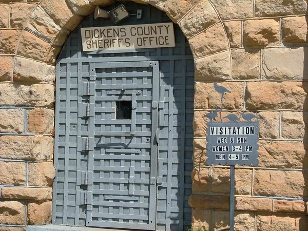
2004_0410Image0005.JPG
2004_0410Image0006.JPG
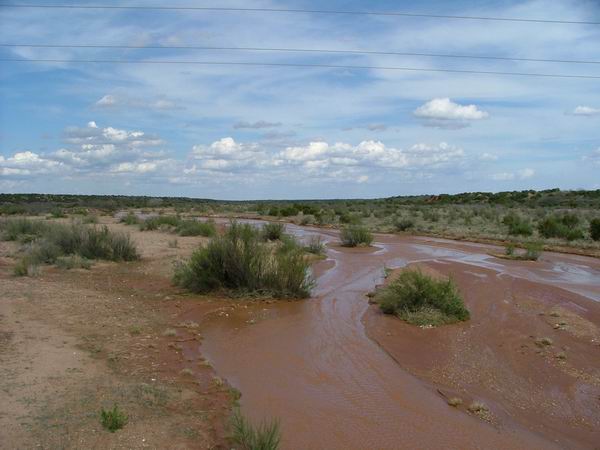
2004_0410Image0009.JPG

A typical West Texas stream
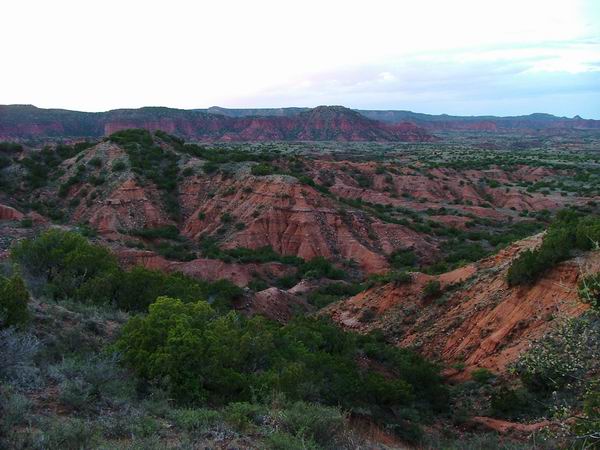
2004_0410Image0012.JPG

Caprock Canyons
2004_0410Image0015.JPG

Caprock Canyons


Day 8
Dickens to Caprock Canyons State Park
71 miles

Got a bit of a late start because of heavy fog in the morning (I want vehicles to be able to see me).  There's a natural spring on the edge of Dickens that I checked out.  Unfortunately, steps leading down to the springs had collapsed and not been repaired yet, so wasn't able to get all the way to the springs.  In this part of Texas there is a large escarpment that strikes N-S and drops a few hundred feet.  Lubbock and Amarillo are above the escarpment, Abilene is below it.  Palo Duro Canyon and Caprock Canyons are part of the escarpment, and Dickens straddles it.  Anyway, the natural springs are the seepage of the ground water from the west.  That's my bit of geology for the day.

Not much between Dickens and the state park.  The wind really has an effect in West Texas, since there's not much to slow it down.  I had it at my back heading north out of Dickens and was really able to fly.  Later it changed to from the West at about 20 mph and then the westward parts of the trip were really tough.

Anyway, Caprock Canyons isn't really convenient to get to, but it is worth the travel.  It's really scenic, and the unusually high rainfall they've had this spring made it particularly green.

The night started out clear, and the stars were really amazing.